This article could contain outdated information that is inaccurate for the current version (1.57) of the game. It was last updated for 1.56.
“
A long time ago, nestled between two great mountains lay a bountiful and idyllic valley. During the civil war, Republican Colonials established several outposts along the northernmost stretch of the Red River. Centuries later, long after the Breaching and the embers of the Boreal Wars had cooled, the Warden army took up arms and advanced south, meeting little resistance until they reached the valley. Those soldiers never left the valley. No one knows the truth of what happened in the Ash Fields. The Scribes had long been dissolved by then, and it's doubtful any would have survived had they been on the field. However, it's said that the clash was so catastrophic, both bordering mountains spewed flames of rage into the valley, forever scarring its once-verdant fields.
„
— Foxhole Devblog 87 - The World of Foxhole: Part III
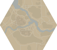
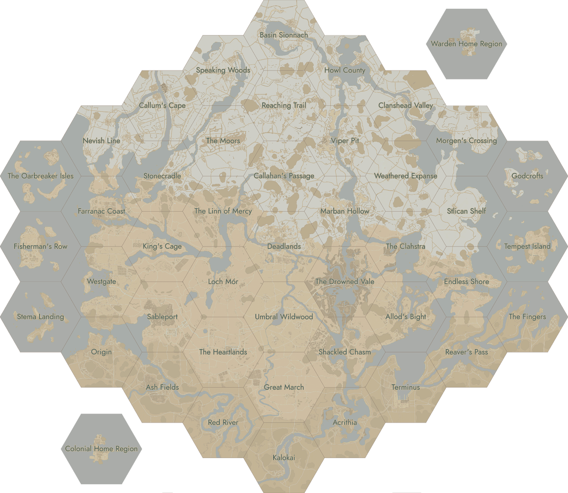
Ash Fields is a World Conquestregion located in the southwest of the world. It consists of large areas of burnt forests in the eastern part of the map, with large amounts of ash covering the soil. Along with its large mountains, a large river called the Red River runs through the region, restricting some of the vehicle movement through it.
The map's Town Base that contributes to the World Conquest's "Victory Condition" is Ashtown.
Ash Field's main waterway (The Red River) is a large river which provides direct water access to Origin, Red River and Sableport, and can be accessed by Naval Vehicles. Due to the main river branching off, it divides the region into three large sections, providing natural chokepoints for any force that wants to move through it.
There are various permanent railway structures placed around the region:
There are two Water Wells located within the region:
Ashtown - West-Southwest of the Town Base, in the center of a plaza-like area
Electi - Southeast of the Town Base, across the road from the Safe House
Depending on the frontline, it is advantageous to store filled Water Buckets in order to proactively store water in case of fires. Water Wells are considered as water sources, but they cannot be used to harvest water cans.
Industry
In certain war configurations, this region will be a Logistics Town (known as a 'Logi Hub'). Logi Hubs are towns located in the backlines that contain various logistical structures, which help produce/unlock various equipment. They are the only places where the tech tree can be progressed.
Several small camps such as this are scattered around the Ash Fields. You suspect they’re used and maintained by various patrols in the area. It seems they use them for both rest stops and location markers. Visibility at night can be low in these burnt out fields.
Various personal knickknacks are left behind. It almost seems intentional, as if those posted here have made a ritual of it. Curious, you flip through a journal someone left behind.
They’re out there. I spoke to Chiro about it in the morning, and he swore on his life it happened. Alexopoulos doesn’t believe us, but he wasn’t out there at the time. But we saw them.
At first we took them for Warden scouts or a recon unit. I nearly called it in, but we watched them for a while, and they seemed to… float. I’m not sure how, but they appeared to slide forward, came right towards us. We raised our firearms, ordered them to halt, but got no reaction. They just floated right through us.
I’d love to chalk it up to exhaustion, which wouldn’t be a fib, but that doesn’t explain these… phantoms that we both experienced.
Location of Phantoms in the Fields Ash Fields - H11k6
Phantoms in the Fields
Map
Wasteful Calm
Ash Fields features much wasteland forests. The two sections, split by the Tar Creek, are called The Stillness and Wasteful Calm.
Central in the map is Ashtown, an industrial settlement. The architecture is of southern design. In the south of Ashtown, there is a long line of windmills along the road.
At the other side of the meandering Red River, you can find Ash Fort, a Relic Base. It offers a lot of large bushes in the surrounding area, ideal for ambushes by both attackers and defenders.