Stlican Shelf
Jump to navigation
Jump to search
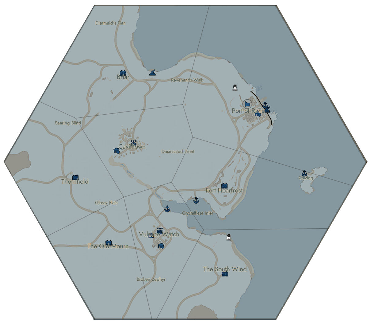
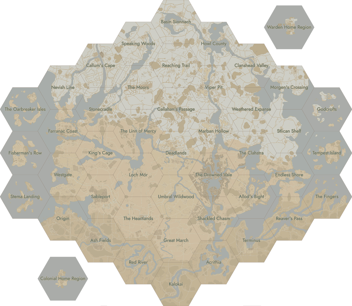
Stlican Shelf is a map located on the Northeastern part of the map. This hex map was introduced in Update 1.54 ('Naval Warfare'), and was introduced as a part of the reworked eastern coastline(s).
Logistical Locations
Waterways & Water Wells
Railway Lines & Railway Bridges
Industry & Storage
Update History
- 1.54 Naval Warfare - Stlican Shelf was added into the game as a World Conquest map.
- It was added alongside three other maps, and five redesigned maps (the final step of the game's naval redesign, which expanded the map to include larger waterways).
Map
Named Locations in Clahstra
- Briar
- Broken Zephyr
- Calving
- Cavilltown
- Crystalfleet Inlet
- Desiccated Front
- Diarmaid's Plan
- Fort Hoarfrost
- Grassy Flats
- The Old Mourn
- Port of Rime
- Revenant's Walk
- Searing Blind
- The South Wind
- Thornhold
- Vulpine Watch
Trivia
| Click on a region to open the corresponding page. |
|---|
 |