This article is considered accurate for the current version (1.56) of the game.
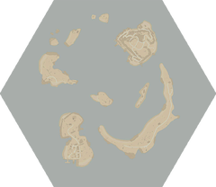
The Oarbreaker Isles is an island map consisting of an archipelago of islands. In addition to land warfare, players are also expected to heavily rely on naval combat and amphibious landings in order to dominate the map.
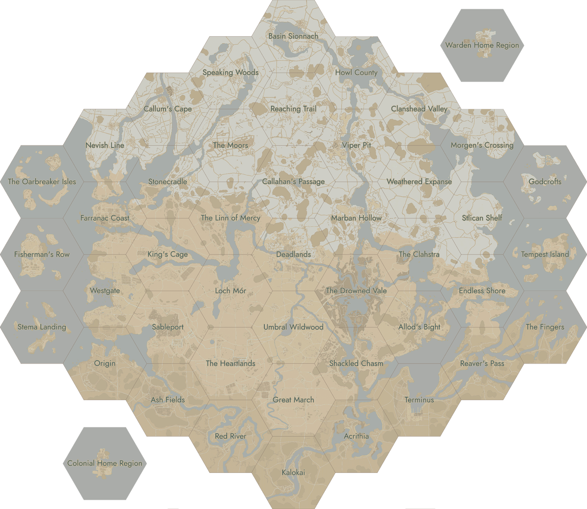
Oarbreaker is located on the west side of the world map. It forms a counter part to Godcrofts with concentrated industry on the main island, The Conclave. The island Silver, in the middle of the hex, is surrounded by other unconnected islands, with the southeast of the hex having a long, thin island named Partisan Island.
The hex does not have a victory point.
Logistical Locations
Waterways & Railway Lines
There are no permanent railway structures placed in this region, so player-made tracks are necessary to do train logistics.
Water Wells
Industry
Due to being an Island Region, it's industrial world structures will NOT change with different war configurations. As such, these hexes can have varying levels of logistical sustainability.
This map will always include these logistical structures, which can provide various frontline needs.
1.54 Naval Warfare - The map was readded into the game, and introduced major terrain changes to the map.
All landmasses except for Conclave, Castor, Pollux, Grisly Refuge, and Barrenson have been removed, and five new islands have been added.
A Relic Base has been added to Grisly Refuge.
Conclave has been reworked to be a logistics town.
Lore
Due to 1.54 Naval Warfare changing the layout of the region, all lore pieces previously present in this map have been temporarily removed. However, they are still meant to be taken as canon for the purposes of lore research.
Template:1
}}
Hollow Book
Hollow Book
At first glance, it appears to be a simple book. As you shift it between your hands, you feel something clanking around inside.
You tap the cover; It’s hollow.
Inside you find a hole carved out between the pages, revealing a generous amount of dried jerky bound with cedar twine. It smells delicious, but you know it’s worth too much to consume. Though your hunger might betray you.
It’s been ages since you’ve smelled decent meat.
Location of Hollow Book The Oarbreaker Isles - H12k3
Hollow Book
Letter About the Lighthouse
Letter About the Lighthouse
A letter between Colonial remote operations leaders.
There’s this crusty old captain in the lighthouse, anytime we get near he lets loose with a shotgun. I’ve lost three men, but honestly, he’s got it held pretty well. The lads are building a pyre. We’re going to try smoking him out.
We need that lighthouse for our ships coming to port from Katoma, they don’t call these islands the Oar Breakers for nothing. If you could send a couple more hands our way, I’d appreciate it.
Location of Letter About the Lighthouse The Oarbreaker Isles - G14k8
Letter About the Lighthouse
Mouldy Old Journal
Mouldy Old Journal
You find part of a very old, mouldy journal. You casually flip through and stop on a random page.
The locals have told me a tall tale of a man they will only refer to as the ‘Dullahan.’ They say he’s some spirit or other who wanders the sea with flames where his head should be, beaming like a lantern.
Some say he rides on horseback, a blood red mare with its head flayed, exposing polished bone. Apparently, his ship, The Burgundi, was stranded in the north filled with cavalrymen and a cargo hold filled with horses and other livestock...
Location of Mouldy Old Journal The Oarbreaker Isles - P7k7